By clicking “Accept,” you agree to the use of cookies and similar technologies on your device as set forth in our Cookie Policy and our Privacy Policy. Please note that certain cookies are essential for this website to function properly and do not require user consent to be deployed.

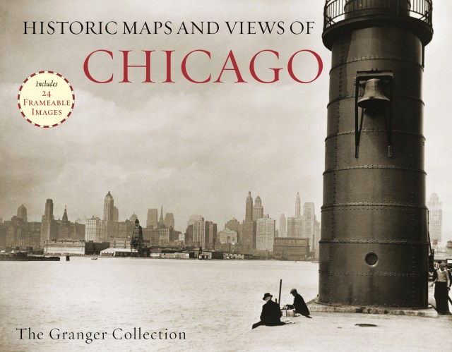
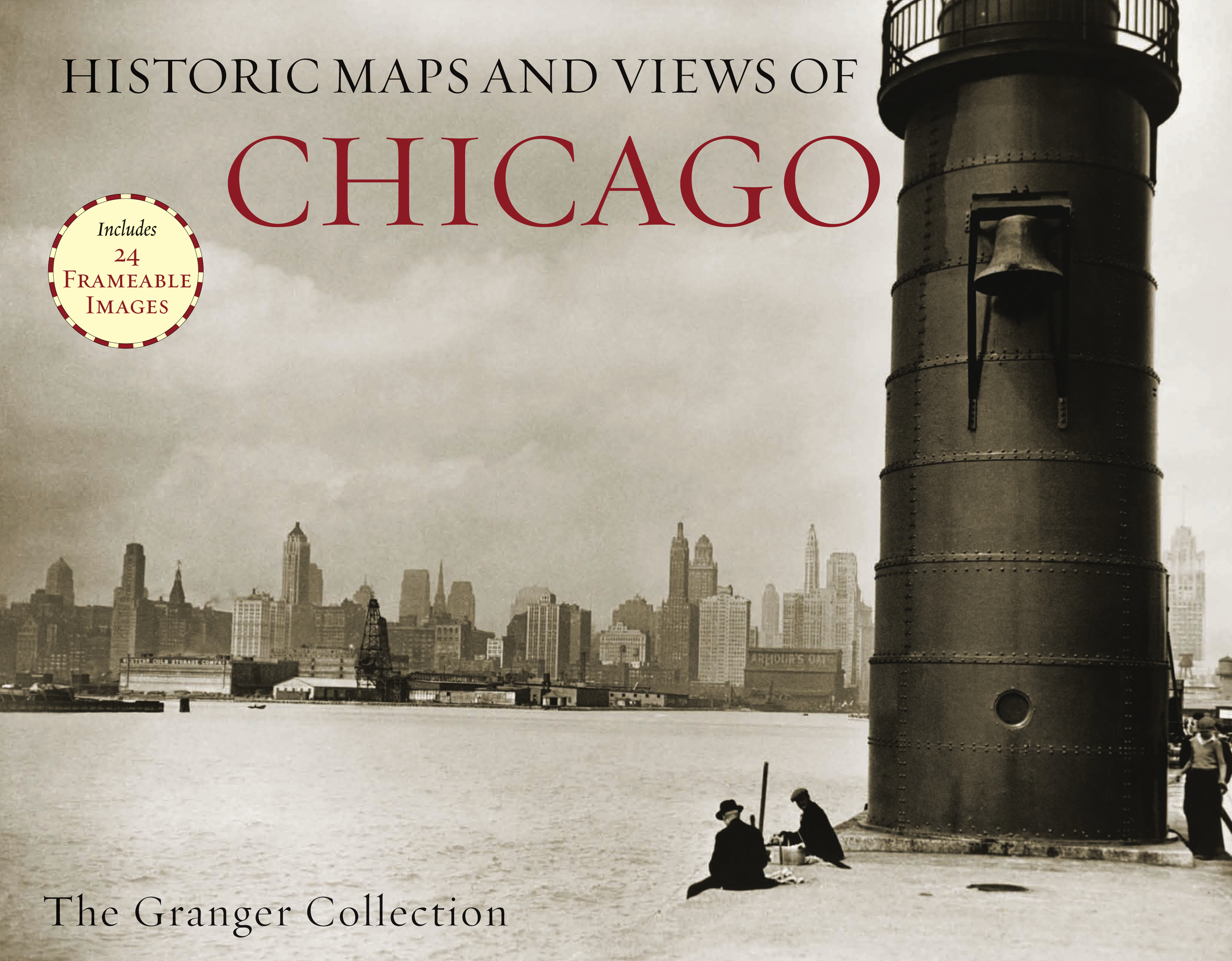
Historic Maps and Views of Chicago

24 Frameable Maps and Views

Contributors

By Granger Collection

Formats and Prices

Price

$19.95

Format

Trade Paperback

Format:

Trade Paperback $19.95

Historic Maps and Views of Chicago contains twenty-four historic maps and views of Chicago and its environs? Dating from the 1700s through the present? Ready for framing in a custom format or in a standard 11? x 14? frame. This stunning and fascinating selection of images from The Granger Collection includes Jean Baptiste Pointe du Sable’s cabin in 1820, Abraham Lincoln’s funeral, maps before and after the great fire of 1871, the first skyscraper, images of the “White City” from World’s Columbian Exposition in1893, as well as art from the groundbreaking 1909 Chicago Plan. Each image’s original printing information is provided, as well as additional information that places it in historic context and further illuminates its qualities. Each image is exquisitely reproduced to show off its color and detail.

The perfect gift for lovers of travel, history, or art.

On Sale
Oct 9, 2012
Page Count
56 pages
ISBN-13
9781579129170

Granger Collection

About the Author

For nearly a half-century as the most convenient and reliable source for the history of the world in pictures, The Granger Collection holds millions of images spanning more than 25,000 years of world history, from before the Stone Age to the dawn of the Space Age. The Granger Collection specializes in the history of people, places, things, and events represented in a variety of mediums including photographs, paintings, engravings, lithographs, and more.

Learn more about this author